ESA TPM Map Catalogue - Product List
back to previous node |
list of download URLs

Collection PROBA1-CHRIS
PROBA-1 CHRIS. More details here.
List of available products (wrsLongitudeGrid: W075, wrsLatitudeGrid: N37).
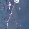
PR1_OPER_CHR_MO2_1P_20041109T162200_N37-041_W075-068_0001
Download Product | Browse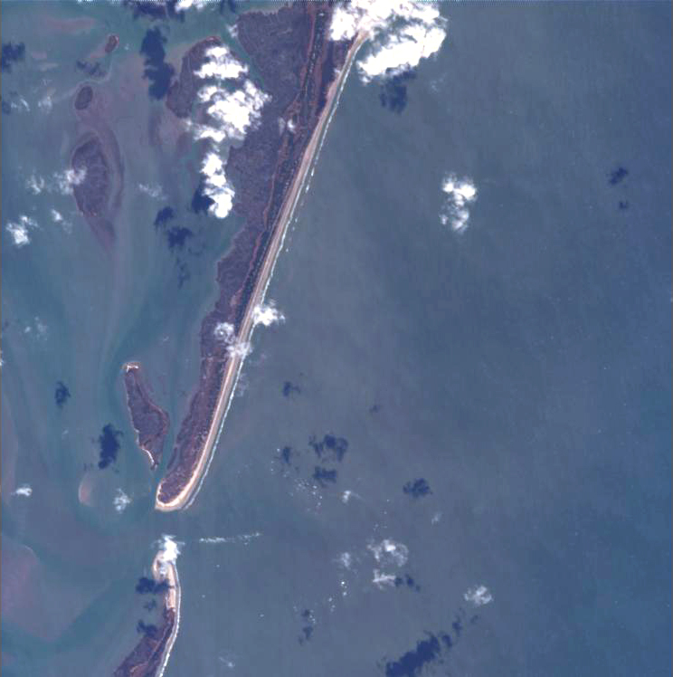
footprint | 37.48 -75.74 37.36 -75.77 37.34 -75.62 37.46 -75.59 37.48 -75.74 |
beginAcquisition | 2004-11-09T16:22:00Z |
endAcquisition | 2004-11-09T16:26:00Z |
operationalMode | MODE-2 |
orbitNumber | 0 |
wrsLongitudeGrid | W075 |
wrsLatitudeGrid | N37 |
productType | CHR_MO2_1P |
originalName | CHRIS_HG_041109_4975_41 |
siteName | Hog_Island |
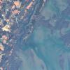
PR1_OPER_CHR_MO2_1P_20041108T161000_N37-048_W075-078_0001
Download Product | Browse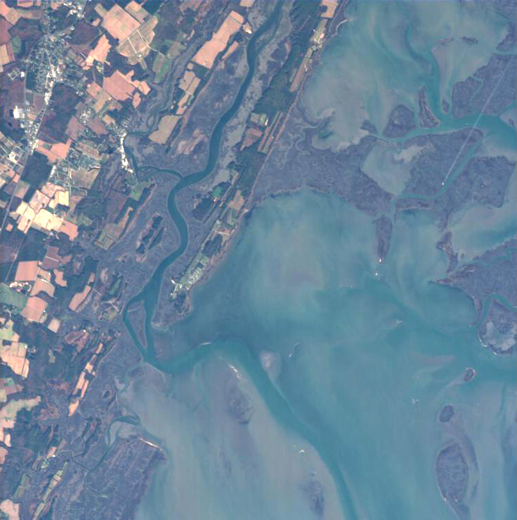
footprint | 37.54 -75.84 37.43 -75.86 37.42 -75.72 37.53 -75.70 37.54 -75.84 |
beginAcquisition | 2004-11-08T16:10:00Z |
endAcquisition | 2004-11-08T16:14:00Z |
operationalMode | MODE-2 |
orbitNumber | 0 |
wrsLongitudeGrid | W075 |
wrsLatitudeGrid | N37 |
productType | CHR_MO2_1P |
originalName | CHRIS_CB_041108_4966_41 |
siteName | Chesapeake_Bay |
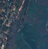
PR1_OPER_CHR_MO2_1P_20041007T162300_N37-048_W075-078_0001
Download Product | Browse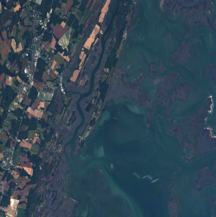
footprint | 37.56 -75.85 37.42 -75.88 37.40 -75.70 37.54 -75.68 37.56 -75.85 |
beginAcquisition | 2004-10-07T16:23:00Z |
endAcquisition | 2004-10-07T16:27:00Z |
operationalMode | MODE-2 |
orbitNumber | 0 |
wrsLongitudeGrid | W075 |
wrsLatitudeGrid | N37 |
productType | CHR_MO2_1P |
originalName | CHRIS_CB_041007_47A4_41 |
siteName | Chesapeake_Bay |
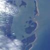
PR1_OPER_CHR_MO2_1P_20040818T161600_N37-026_W075-084_0001
Download Product | Browse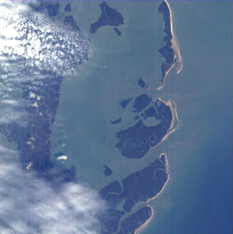
footprint | 37.33 -75.90 37.21 -75.92 37.19 -75.78 37.31 -75.76 37.33 -75.90 |
beginAcquisition | 2004-08-18T16:16:00Z |
endAcquisition | 2004-08-18T16:20:00Z |
operationalMode | MODE-2 |
orbitNumber | 0 |
wrsLongitudeGrid | W075 |
wrsLatitudeGrid | N37 |
productType | CHR_MO2_1P |
originalName | CHRIS_SM_040818_44CA_41 |
siteName | Smith_Island |
PR1_OPER_CHR_MO2_1P_20040810T161900_N37-048_W075-078_0001
Download Product | Browse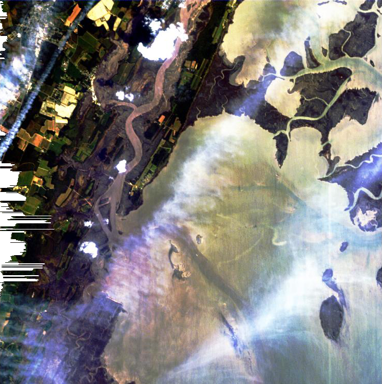
footprint | 37.55 -75.84 37.43 -75.86 37.41 -75.72 37.53 -75.70 37.55 -75.84 |
beginAcquisition | 2004-08-10T16:19:00Z |
endAcquisition | 2004-08-10T16:23:00Z |
operationalMode | MODE-2 |
orbitNumber | 0 |
wrsLongitudeGrid | W075 |
wrsLatitudeGrid | N37 |
productType | CHR_MO2_1P |
originalName | CHRIS_CB_040810_446B_41 |
siteName | Chesapeake_Bay |
PR1_OPER_CHR_MO2_1P_20040809T160700_N37-041_W075-068_0001
Download Product | Browse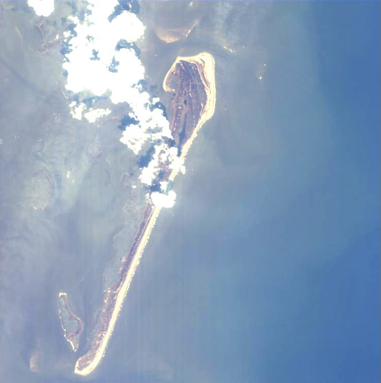
footprint | 37.48 -75.74 37.36 -75.77 37.34 -75.62 37.46 -75.59 37.48 -75.74 |
beginAcquisition | 2004-08-09T16:07:00Z |
endAcquisition | 2004-08-09T16:11:00Z |
operationalMode | MODE-2 |
orbitNumber | 0 |
wrsLongitudeGrid | W075 |
wrsLatitudeGrid | N37 |
productType | CHR_MO2_1P |
originalName | CHRIS_HG_040809_4461_41 |
siteName | Hog_Island |